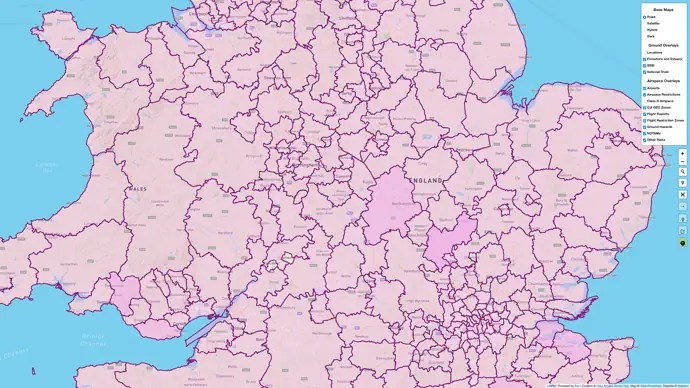
Grey Arrows Drone Club is pleased to announce the integration of over 370 Local Authority Byelaws and
Policies governing the recreational use of drones into our Drone Scene platform.
This comprehensive data mapping comes as a result of more than 370 Freedom of Information (FOI)
requests submitted to Local Authorities throughout England, Scotland, Wales, and Northern Ireland in
March 2024.
The FOI request sought detailed information regarding the authorities regulations on the recreational use of drones from land under their jurisdiction.
Grey Arrows Drone Club asked each authority:
- Do you have any byelaws specifically relating to the recreational use of drones from your land? If
yes, please provide:
a) The date(s) of these byelaws.
b) A digital copy of the byelaw(s) or a link to where these can be found on your website. - In the absence of specific byelaws, do you have any policies relating to the recreational use of
drones from your land? If yes, please provide:
a) The date(s) of these policies.
b) A digital copy of the policies or a link to where these can be found on your website.
Furthermore, over four million data points defining the exact boundaries of each Local Authority have been
incorporated into the Drone Scene platform.
This high level of mapping detail enables Club members to find byelaw and policy information for each local authority with just a couple of clicks.
The results are available electronically and are available to club members at any time.
Drone operators are advised to consult local byelaws and policies before flying from publicly owned land.
Grey Arrows Drone Club – https://GreyArro.ws
Drone Scene – https://DroneScene.co.uk

