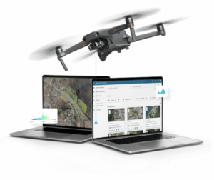
AerologixMaps: Affordable, Scalable Mapping Software In the rapidly evolving world of drone technology, a new mapping solution is filling a gap in the market for small and medium size drone businesses. AerologixMaps, developed by Australian drone industry pioneer Aerologix, is...
Affordable Mapping Revolution: AerologixMaps Empowers Drone Businesses
