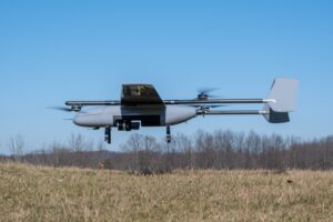
Event 38 Unmanned Systems Integrates Advanced LiDAR onto E455 Drone Event 38 Unmanned Systems, a global leader in the manufacturing of unmanned aerial vehicles, has announced a significant upgrade to their Heavy VTOL E455 Drone. The drone can now be...
Event 38 Unmanned Systems Incorporates Advanced LiDAR Technology into E455 Drone

