MassDOT Aeronautics Teams Up with MassDOT Highway to Pioneer Drone Technology for Smarter Highway Maintenance
Drones and Data Analytics Set to Transform Highway Inspections in Massachusetts
The Massachusetts Department of Transportation (MassDOT) Aeronautics Division is teaming up with MassDOT Highway to take highway inspections and maintenance to the next level using drones and data analytics. They’ve applied for a $1 million grant from the Federal Highway Administration’s Accelerated Innovation Deployment (AID) Program to fund the second phase of this innovative project.
Building on Initial Success
The project’s first phase, backed by a $1 million AID grant in 2021 and an additional $250,000 from MassDOT, laid the groundwork for using drones in highway inspections. Dr. Sinan Abood, MassDOT Aeronautics Data & Analytics Team Leader, said, “The initial phase set up a digital system to manage and deliver UAS imagery and products.” This phase proved that drones could significantly enhance inspection accuracy and efficiency.
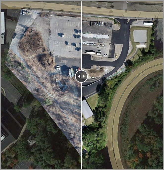
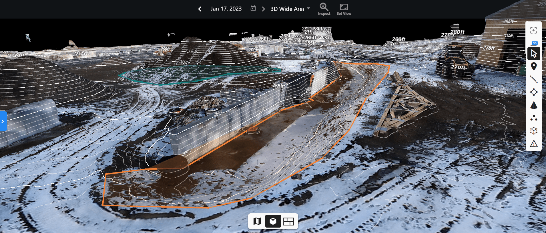
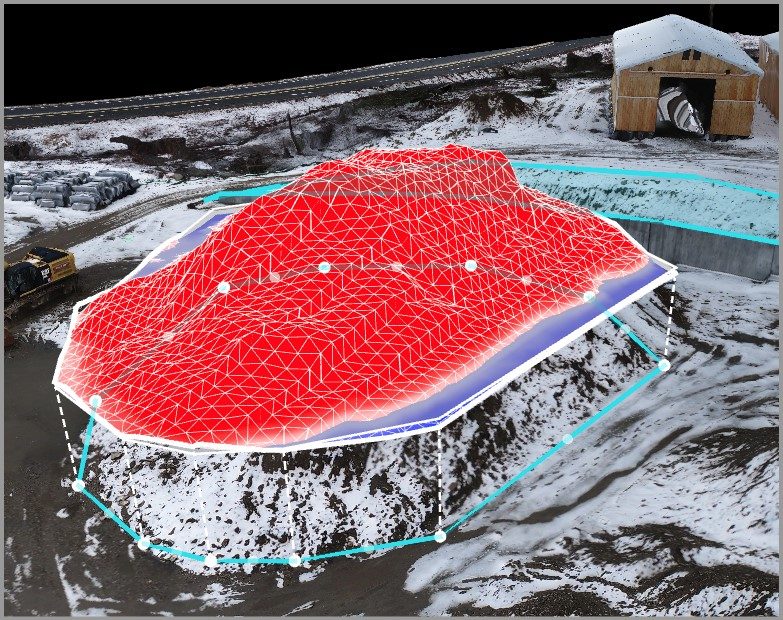
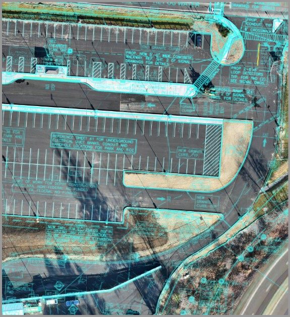
Drones provided high-resolution imagery and detailed 3D maps, making infrastructure assessments more precise. They also cut down on inspection times and costs while improving safety by enabling remote evaluations. Specific successes included faster bridge inspections, accurate pavement monitoring, and better environmental management.


How Drones Collect and Use Data
MassDOT’s drones collect various types of data, like high-resolution images, 3D maps, thermal images, and LiDAR scans. This data helps with proactive maintenance and more accurate condition assessments, aiding in better planning and scheduling. Dr. Abood explained, “Thermal imaging helps us spot heat-related issues, while LiDAR scans give us precise measurements of the terrain and infrastructure.”


However, integrating this new data with existing systems isn’t always easy. Compatibility issues with older systems, data security, and managing the large volume of data are significant challenges.
Adapting to Different Environments
The drone-based system works in both rural and urban areas by adapting to the specific needs of each environment. In rural areas, drones need longer flight times and strong battery life to cover large distances. Dr. Abood gave examples like inspecting remote bridges and monitoring farmland for crop health.
In cities, drones need advanced navigation and obstacle avoidance systems to handle complex infrastructure. They also need to be mindful of noise and privacy concerns. Examples of urban projects include managing traffic and inspecting tall buildings. This adaptability ensures that drones can efficiently support infrastructure maintenance in diverse settings.
Aligning with Broader Goals
This project fits well with the goals of the Healey-Driscoll Administration, which focuses on equity, mobility, competitiveness, workforce development, and climate resilience. By ensuring consistent infrastructure quality across urban and rural areas, it promotes equitable access to safe transportation. The project also boosts Massachusetts’ competitiveness in infrastructure innovation and creates new job opportunities in drone operation and data analysis.
Dr. Abood highlighted the environmental benefits, stating, “Drones help us with proactive maintenance and adapting to climate impacts, strengthening climate resilience.” This initiative supports a more equitable, mobile, competitive, skilled, and resilient Massachusetts.


Long-Term Impacts and Future Prospects
If successful, this drone-based system could have a significant long-term impact on MassDOT and other transportation agencies across the country. The benefits include better infrastructure monitoring, improved data collection and analysis, and increased safety.
Regular and accurate inspections, cost savings from fewer manual inspections, and comprehensive data for better decision-making are key advantages. Using AI and machine learning with drone data can predict infrastructure issues before they become critical. Drones also reduce the risk to human inspectors and offer real-time monitoring during construction projects.
Dr. Abood noted that this project could influence future transportation management and policy decisions. “Successful implementation will likely lead to new regulatory frameworks, increased funding, and strategic planning based on data-driven decisions,” he said. This project could also foster public-private partnerships, create new skills within transportation agencies, and enhance transparency and public engagement.
MassDOT Aeronautics and MassDOT Highway are pioneering the use of drones and data analytics to revolutionize highway inspections and maintenance. With the $1 million AID grant, they aim to enhance the safety, efficiency, and effectiveness of the state’s transportation system, setting a new standard for public transportation management.
Read more:
Miriam McNabb is the Editor-in-Chief of DRONELIFE and CEO of JobForDrones, a professional drone services marketplace, and a fascinated observer of the emerging drone industry and the regulatory environment for drones. Miriam has penned over 3,000 articles focused on the commercial drone space and is an international speaker and recognized figure in the industry. Miriam has a degree from the University of Chicago and over 20 years of experience in high tech sales and marketing for new technologies.
For drone industry consulting or writing, Email Miriam.
TWITTER:@spaldingbarker
Subscribe to DroneLife here.


